
Registrations are Closed
Innovative Digital Twin Workflows Using ArcGIS
Jan 29, 2025 | 11 am - 12 pm IST
Overview
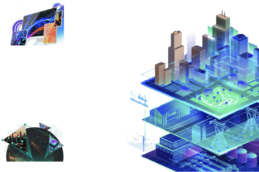
Digital Twins are revolutionizing how we manage, analyze, and interact with complex systems, from urban environments to operational infrastructures. By integrating GIS capabilities, Digital Twins offer dynamic, real-time representations of the physical world, enabling smarter planning, enhanced decision-making, and greater efficiency. This session explores the role of GIS-enabled Digital Twins in addressing challenges such as urban growth, sustainability, and operational optimization.
Key takeaways
- Why Digital Twin?
- GIS and Digital Twin Integration
- Planning Digital Twins for Urban Growth
- Operational Digital Twins for Infrastructure and Asset Management
- Dynamic Data and Situational Awareness
- Immersive and Interactive Visualization
Who should attend?
Urban Planners and Developers, Infrastructure and Operations Managers, GIS Professionals, Decision-makers and Stakeholders, Smart City Developers.
Speaker

Krishnendu M B
Esri India