
Registrations are Closed
Trends in GeoAI
Feb 12, 2025 | 11 am - 12 pm IST
Overview
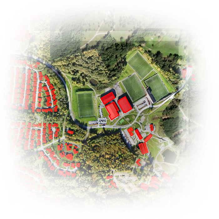
GeoAI is revolutionizing geospatial data analysis by integrating advanced Artificial Intelligence (AI) techniques. With ongoing advancements in GIS technology and AI capabilities, GeoAI empowers organizations to identify hidden patterns, make data-driven predictions, and streamline complex workflows. This transformative approach is driving innovation across various fields.
By leveraging enhanced predictive analytics and newly released pretrained models, GeoAI is paving the way for the future of geospatial intelligence. With cutting-edge tools and functionalities, platforms like ArcGIS are making GeoAI more accessible and impactful for GIS professionals across industries.
Key takeaways
- Overview of GeoAI in ArcGIS
- Emerging Trends in GeoAI
- New Functionalities and Tools for GeoAI Workflows
- Predictive Analytics
- Introduction to New Pretrained Models
- Real-World GeoAI Applications and Use Cases
Who should attend?
GIS professionals, organizations, data scientists and researchers interested in exploring AI-powered geospatial technologies for enhanced operational efficiency and automation of complex workflows.
Speaker

Sreebhadra H R
Esri India