
Revolutionize Forest Management: The Transformative Role of Drones & GIS
Presented by ideaForge & Esri India
Wednesday, May 29, 2024 | 3pm IST onwards
Revolutionize Forest Management: The Transformative Role of Drones & GIS
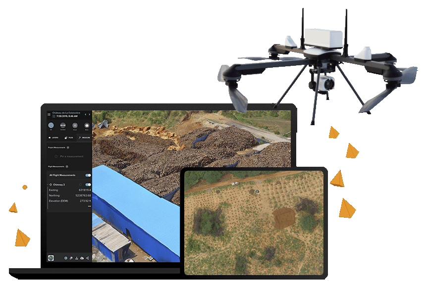
The revolution of drones has arrived in the forest. Combine this with Geographic Information System (GIS) technology and the result is a sophisticated set of capabilities that transform forest mapping and management.
As the use of drones increases, there is a need for integrated solutions that can provide a complete, end-to-end workflow to capture high-resolution imagery and diverse data in real-time, process it, and generate useful insights that empower forest managers to make informed decisions. These could range from resource allocation and plantation management to wildlife movement and forest fire detection & damage assessment.
In this webinar, you will learn how a seamlessly integrated Drone-GIS solution provides unparalleled insights into forest resource/ inventory, health, security, and operations.
Key takeaways
- Drones and sensors for forest applications
- Power of combining Drones with GIS technology
- Applications of Drones & GIS in Forest Management
- Best practices to deploy an integrated Drone-GIS solution
Who should attend
This session is highly recommended for District Forest Officers (DFO), Conservators of Forest – Working Plan (CF), Chief Conservators of Forest – Working Plan (CCF), and Additional Principal Chief Conservators of Forest (APCCF). However, officials from across forest departments will also benefit from attending this session.
Speakers
Pradeep Pandurangi
Senior Product Manager
ideaForge
Samkith Bagmar
Manager - Drone Solutions
Esri India
Mr. Abhilash Damodaran (IFS)
Chief Conservator of Forest
Himachal Pradesh Forest Department
Agenda
Timing | Details | Speaker |
3:00 pm - 3:10 pm | Welcome Note | Esri India |
3:10 pm - 3:20 pm | Introduction to Drones | Pradeep Pandurangi, ideaForge |
3:20 pm - 3:30 pm | GIS applications using drones | Samkith Bagmar, Esri India |
3:30 pm - 3:40 pm | Customer story | Mr. Abhilash Damodaran (IFS), CCF, Himachal Pradesh Forest Department |
3:40 pm - 3:45 pm | Concluding remarks | Esri India |
3:45 pm - 4:00 pm | Q&A |
|
About ideaForge and Esri India
ideaForge, a pioneering force in the UAV industry, builds security and mapping UAV solutions that can be deployed to address applications like surveillance, public safety, forest management, inspection, and a lot more.
Esri India, the market leader in geographic information system (GIS) software, location intelligence, and mapping solutions in India, helps customers unlock the maximum potential of their data to improve operational and business decisions.