Unleashing the true potential of GIS with cutting-edge imagery and raster data capabilities has become essential. Experiencing the power of seamless visualization, processing, analysis, and management, and staying ahead with the latest updates has gained importance.
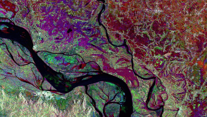
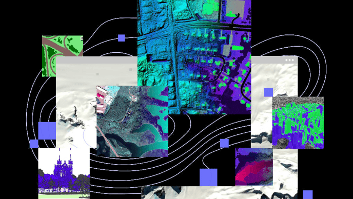
ArcGIS offers comprehensive capabilities for visualizing, managing, processing, and analysing both imagery and raster data. These functionalities are further extended through the ArcGIS Image Analyst extension, which provides advanced tools tailored for detailed image analysis. Using scientific and image processing methodologies, ArcGIS extracts spatial and spectral information from imagery, employing optimized processes through advanced techniques.
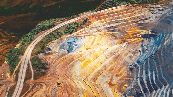
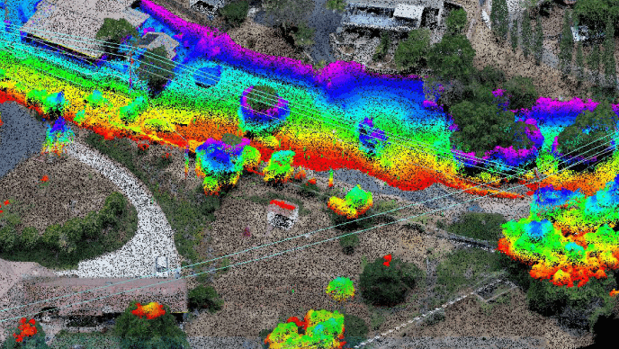
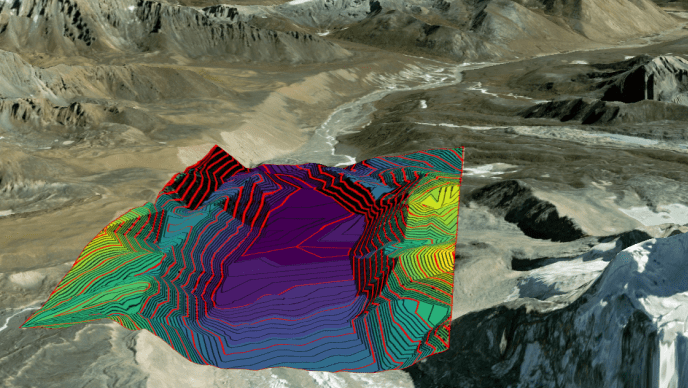
Within ArcGIS Pro, users can efficiently manage and deploy large collections of imagery using essential components such as mosaic datasets and raster products. The software includes tools and raster functions designed to handle diverse data types, such as satellite imagery, drone or aerial sensor data, raster datasets, and digital elevation models (DEMs). These tools enable comprehensive analysis and manipulation of raster data to support a wide range of applications.