Working with imagery and remote sensing are increasingly recognized for its ability to provide timely and comprehensive data on various applications. Its integration with advanced tools and technologies further enhances its utility in analysing vast amounts of data for impactful insights and solutions.
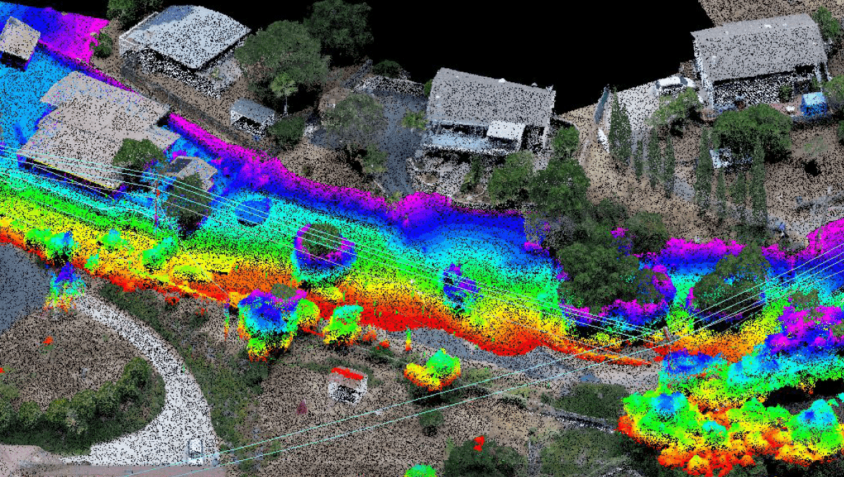
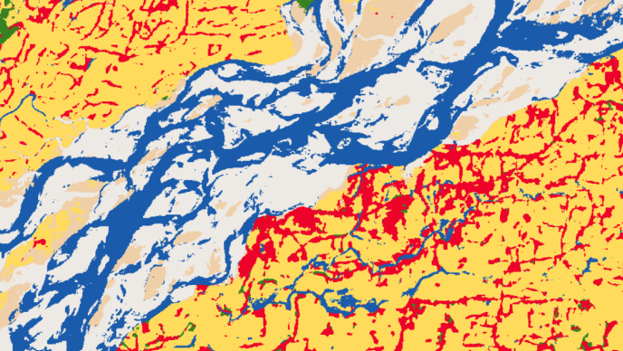
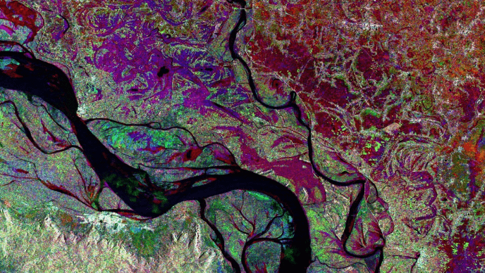
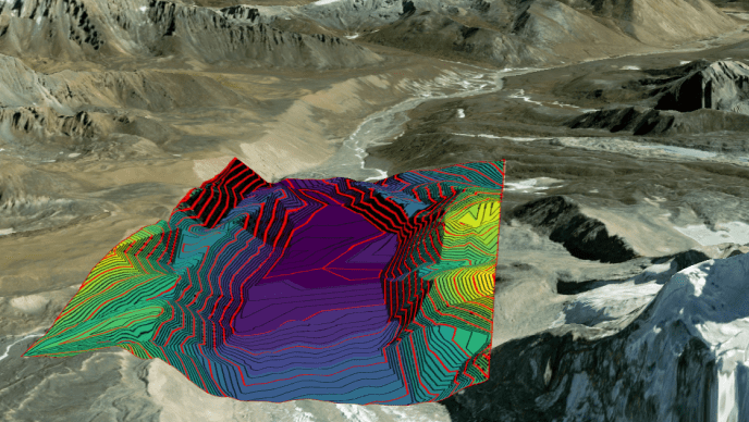
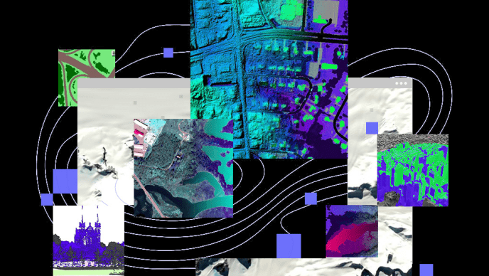
ENVI is the industry standard software in the realm of image processing. It is renowned for its robust capabilities in analysing and manipulating various types of remote sensing and geospatial imagery. Trusted by professionals across industries such as Health, Forestry, Environmental monitoring, Defence, Agriculture, and Urban Planning, ENVI excels in extracting meaningful insights from satellite, aerial, and drone-captured data.
Its advanced tools enable precise image classification, spectral analysis, and change detection, empowering users to derive accurate geospatial information essential for informed decision-making. With its intuitive interface and extensive suite of algorithms, ENVI continues to be a preferred choice for researchers, analysts, and GIS professionals seeking to unlock the full potential of imagery data for diverse applications.