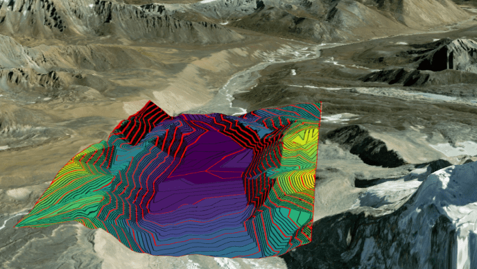
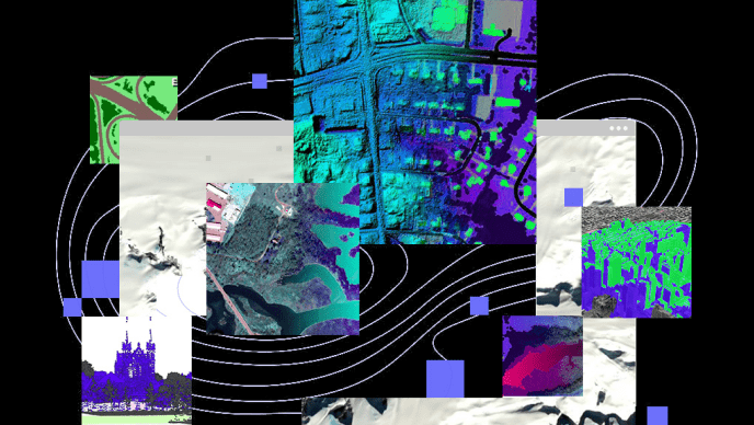
ArcGIS Reality, Esri’s suite of photogrammetry software products, is designed to enable reality capture workflows for sites, cities, and countries. It facilitates the creation of foundational datasets – the key components of 3D Digital Twin.
Reality mapping is the process of creating accurate digital depictions of the physical world using images, lidar, or both. Esri’s end-to-end drone mapping solutions cover every workflow – from flight planning and 2D & 3D mapping to data analysis and scalable content management & sharing.
In this webinar, we will take you through a range of imagery product offerings from Esri.
Site Scan for ArcGIS: Process large volumes of drone imagery faster with cloud-based data processing and create 2D and 3D maps and models that you can quickly share across your organization.
ArcGIS Drone2Map: Process drone imagery on your desktop while offline or in the field. Turn recently collected drone images into 2D and 3D models, even without an internet connection.
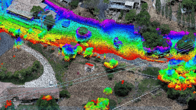
ArcGIS Reality for ArcGIS Pro: Use this extension to generate large-scale true DSMs, true orthos, DSM meshes, point clouds, and 3D meshes from satellite, aerial, and drone imagery.
ArcGIS Reality Studio: Explore this scalable, stand-alone application for citywide and countrywide reality mapping to create an important piece of 3D digital twins.
