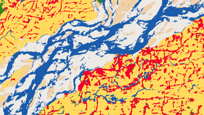
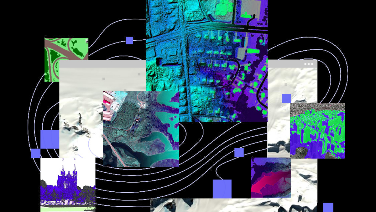
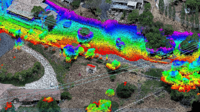
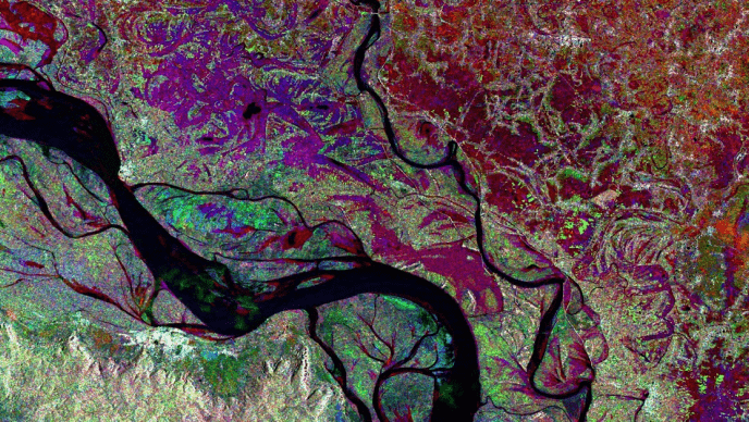
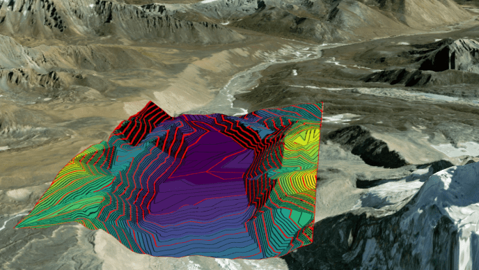
Imagery plays a pivotal role in enterprises across diverse domains where accurate representation holds immense significance. Accessing, managing, and disseminating imagery across the enterprise can be a daunting task for organizations without infrastructure specifically designed for imagery.
Choosing ArcGIS as the enterprise imagery solution of record empowers organizations to treat imagery – and all geospatial data – strategically rather than simply isolating images themselves. By providing enhanced security measures alongside regular feature updates tailored for enterprise users’ needs while offering seamless GIS integration capabilities – it becomes clear why embracing a complete enterprise system like ArcGIS represents a significant business advantage. Investing now in an all-encompassing image and geospatial data management solution solidifies not only efficient process workflows but also positions imagery and remote sensing assets as strategic components within overall business strategies, ultimately positioning organizations for sustainable success.
