Managing uninterrupted power supply while maintaining quality is a big challenge faced by all complex electricity distribution networks, today. India is a highly populated country and increasing urbanization needs smooth management of power distribution. It is a big challenge for DISCOMs to cope with the change and adopt smart methods to manage grids and maintain uninterrupted supply.
The Government of India has taken many steps like the Integrated Power Development Scheme (IPDS) and Revamped Distribution Sector Scheme (RDSS) to strengthen the power transmission and distribution in the country and minimize AT&T losses. Power Purchase Agreements (PPAs) can also help. According to a recent report released by the Ministry of Power, DISCOMs can meet at least 85% of their electricity requirement by entering into long-term PPAs for the areas they serve.
In India, 50% of total power generation is done by the private sector and the rest by the central and state governments. As per the report, there are 55 DISCOMs out of which 14 have an A+ rating, and the rest are making efforts to increase their efficiency by adopting crucial technologies such as Esri’s ArcGIS.
TPCODL Achieving Excellence with ArcGIS
TP Central Odisha Distribution Limited (TPCODL) is a joint venture between Tata Power and the Government of Odisha. TPCODL serves a population of 1.36 Crore with a customer base of 30.75 Lakh and a vast distribution area of 29,354 sq. km.
The utility company focuses on providing a reliable power supply, enhanced customer services, and reducing the existing AT&C losses of 30.49%. TPCODL believes that all this can be achieved by upgrading the present distribution infrastructure and adopting new technologies. Accordingly, TPCODL has adopted modern technologies for distribution management and customer engagement.
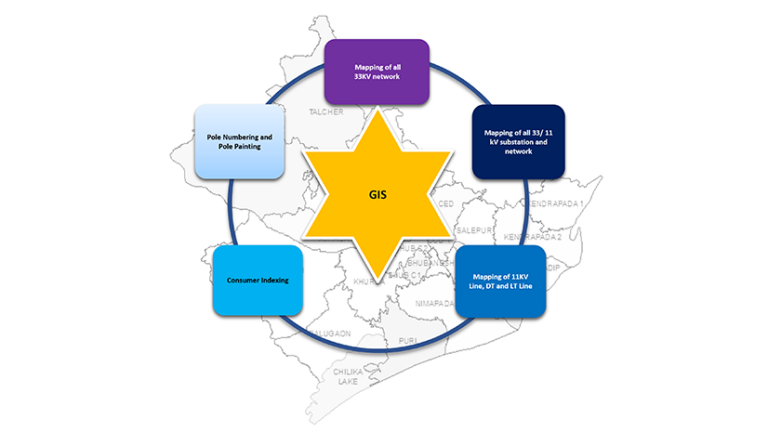
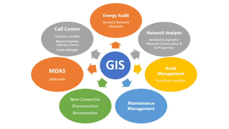
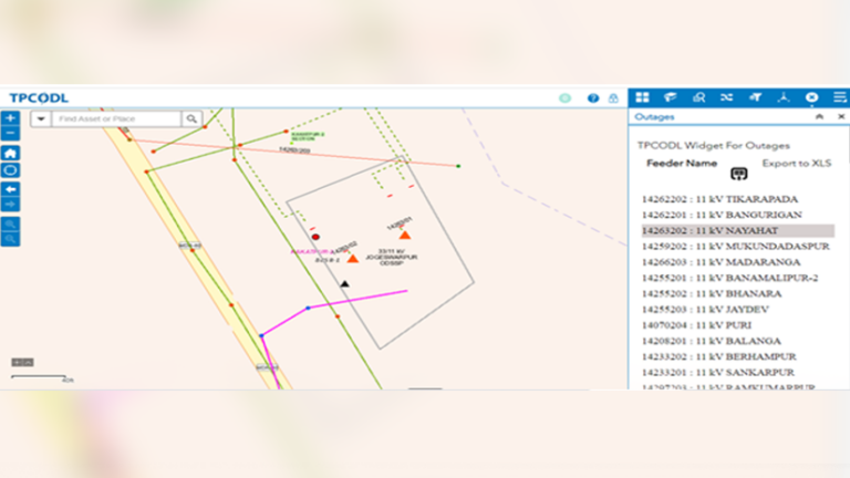
TPCODL is using ArcGIS to become a more sustainable grid. It is using ArcGIS for data and service management over the web and mobile. The GIS solution is helping them in many areas such as network planning, outage planning, energy audit, asset management, change management, and integration with other systems like SAP, MDAS, etc. Complete consumer management is also possible using GIS. It helps in consumer indexing, setting new connections, disconnections, and re-connections.
ArcGIS Server is an important component of the current deployment in the TPCODL Control Centre. Various applications have been developed to manage day-to-day operations in the field as well as in the control center.
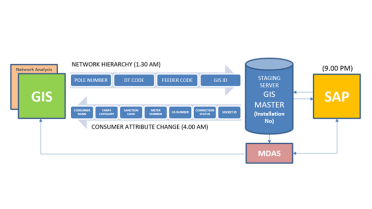
Asset Maintenance is another important area where GIS is being used. GIS is used to plan maintenance activities like route planning for crew members so that breakdowns in remote areas can be attended in minimum time. Complete outage management is possible using GIS.
The below figure explains the major functionalities we get from GIS and its integration with external modules.
Benefits of Using Esri’s GIS Solution
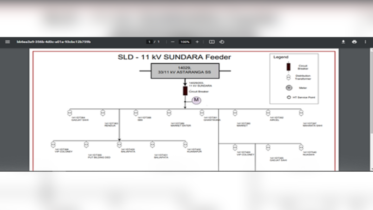
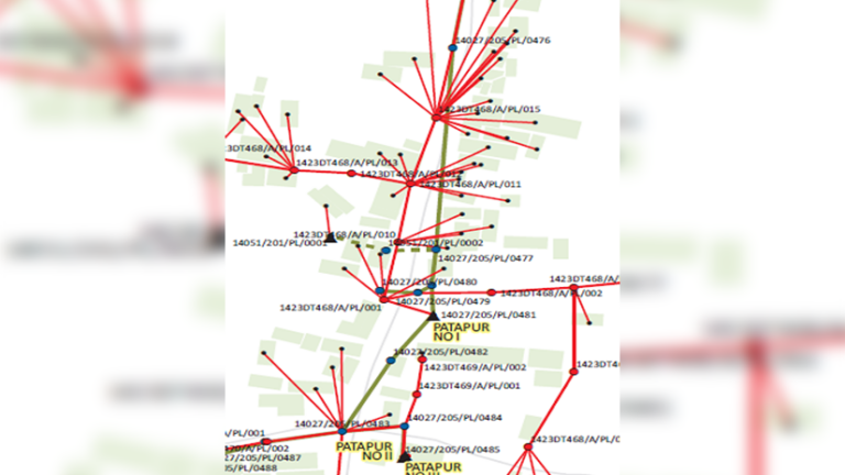
- Network Planning & SLD Generation: GIS is used for network planning. The networks can be segregated voltage-wise, and all networks can be viewed on a single screen.
- Accurate Location Mapping: DT locations are mapped in GIS, and its administrative hierarchy is useful in creating functional locations in SAP for asset management.
- Energy Audit: Energy audit is possible using the complete network hierarchy available in GIS.
- Identify Unauthorized Connections: GIS helps in identifying unauthorized connections for regularization.
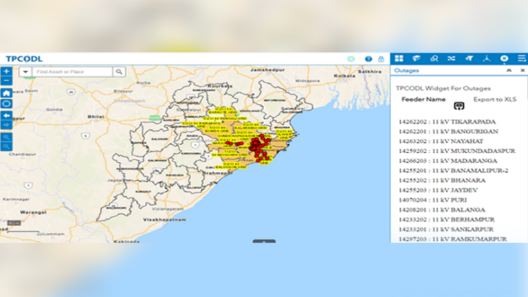
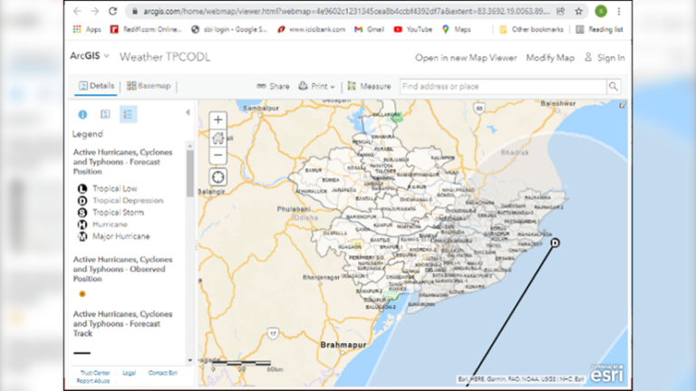
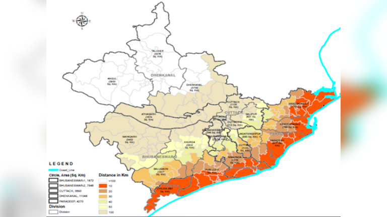
- Weather Prediction Analysis: Based on the alert and trajectory shared by IMD, affected sections are identified on the GIS platform, leading to better man & material deployment. The severity of the impact can be plotted on the GIS maps.
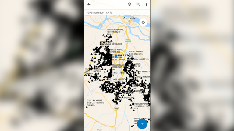
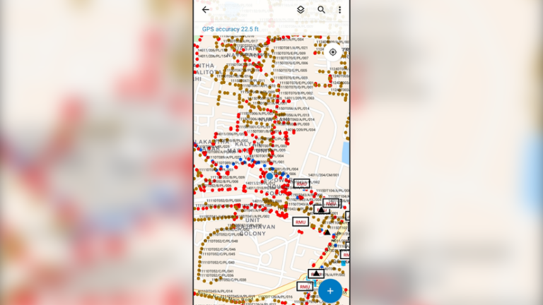
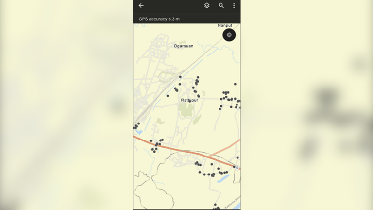
- Mobile Apps for Data Verification and Collection: The mobile applications are used by the field staff to collect asset details, asset inspection, asset numbering mapping customer dues details, etc.
Conclusion
Tata Power Central Odisha (TPCODL) has achieved excellence in managing operations and enhancing grid stability by utilizing Esri’s ArcGIS.
Utility distribution companies must adopt GIS technology to overcome the present challenges. GIS helps in managing operations and assets, consumer handling, and data analysis for informed decision-making.

I am a seasoned professional in Electrical T&D, Charted Engineer with 18+ years of experience. My expertise in Protection Relays, SCADA, EMS/ADMS/OMS/DERMS, GIS, and IT/OT Integration allows me to harness software solutions with available utility infra and technology to obtain smart and efficient grid operations.
