To promote geospatial technology usage in the country, Esri India, in collaboration with various government and private data providers, has invested in publishing authoritative geospatial maps and datasets as ArcGIS Living Atlas of India. These datasets and maps get updated frequently based on the available source data. ArcGIS Living Atlas of India is a collection of curated geographic content, including ready-to-use basemaps, maps, layers, apps, and tools.
Data/ layers available in ArcGIS Living Atlas of India
This is a dynamically growing dataset repository of India. Currently (May 2024), there are 900+ data layers of Indian geospatial content. The datasets include:
Administrative Boundaries: These refer to the administrative boundaries of states, districts, sub-districts, and villages. These boundaries are also linked with 200+ demographic variables as published by the Government of India. For key towns, ward boundaries are also published. Other boundaries include postal code boundaries, and election boundaries for legislative assembly and parliamentary constituencies.

Satellite Imagery: Apart from administrative boundaries, satellite imagery of different sensors and resolutions is published. This includes primarily a high-resolution satellite base map of the entire country including urban and rural areas and a wayback imagery repository of the last 10 years to help in visualizing the changes on the ground.

Elevation and Bathymetry: ArcGIS Living Atlas includes comprehensive elevation maps incorporating the best available multiple-resolution elevation data for the country. The dynamic Elevation Terrain service provides numeric values representing ground surface heights, based on a digital terrain model (DTM). Elevation information can be accessed as ready-to-use map layers and tools. It also includes a collection of map layers derived from elevation, such as slope in degrees, slope in percent, aspect, and hill shade. Bathymetry datasets are part of TopoBathy and TopoBathy3D services.

Land Use/Land Cover: Land use/land cover is a prerequisite in planning, utilizing, and management of natural resources. The information on land use/land cover and the changes over a period of time has significant importance in all the planning and development activities. ArcGIS Living Atlas of India includes land use/land cover (LULC) derived from ESA Sentinel-2 imagery at 10m resolution from 2017 to 2022. It also includes LULC from Bhuvan Thematic Services (NRSC, ISRO) varying from 250k scale to 10k scale for the last two decades.

Soil and Geology: Soil is the foundation of life on earth. More living things by weight live in the soil than upon it. It determines what crops we can grow, what structures we can build, which forests can take root, etc. Soilgrids.org (ISRIC) prediction of organic carbon density (mass divided by volume) of world soils at 6 depth ranges. This layer’s multidimensional properties can be used to choose a variable and depth to display. Users can add this data to their applications, analytics, and other decision-making tools with a few simple clicks.

Water Resources: The river basin is considered the basic hydrological unit for the planning and development of water resources. There are 12 major river basins with a catchment area of 20,000 sqkm and above. The total catchment area of these rivers is 25.3 lakh sqkm. The major river basin is the Ganga-Brahmaputra-Meghna, which is the largest with a catchment area of about 11.0 lakh sqkm (more than 43% of the catchment area of all the major rivers in the country). The other major river basins with catchment areas of more than 1 lakh sqkm are Indus, Mahanadi, Godavari, and Krishna. There are 46 medium river basins with catchment areas between 2,000 and 20,000 sqkm. The total catchment area of medium river basins is about 2.5 lakh sqkm. All major river basins and many medium river basins are inter-state in nature and cover about 81% of the geographical area of the country.

Environment: The Environment category includes characteristics of land and oceans, such as weather and climate, fresh water, habitat, species, and conservation.

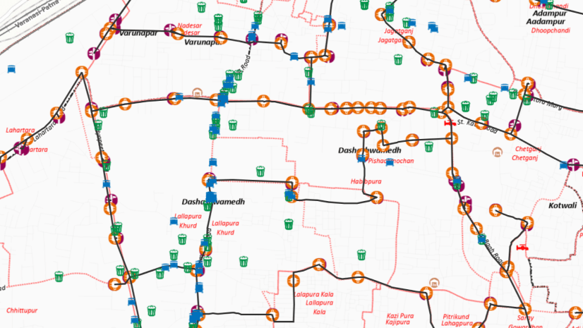
Transport: Users may access several data layers pertaining to land transport. The data layers of Road Network (all the National and State Highways, Expressways, National Corridors developed under Bharatmala Pariyojana), Indian Railway Tracks, Railway Stations, Airports, etc are available at ArcGIS Living Atlas of India.

Points of Interest / Landmarks: Point of Interest (PoI) is the most comprehensive, location-based directory of all public and privately-owned businesses, education, and leisure services. PoI can serve a variety of purposes that are specific to different industries and can provide people with a wide range of information related to the area. Examples of PoI include a museum, an amusement park, a beach, a hiking trail, a park, an observatory, a zoo, a church, an airport, a hospital, a hotel, a school, or a city square.

Building Footprints: Building footprints are useful in various applications, ranging from population estimation, urban planning, and humanitarian response to environmental and climate science. The dataset provides outlines of buildings derived from high-resolution satellite imagery.

Live Feeds: Live data refers to the process by which the users retrieve updated information from a database. Information is stored on a remote server and the data it contains is constantly updated, hence the term real-time data. Having access to live feeds or near real time data is helpful in time sensitive activities and supports quick and effective decision making and real- time analytics.

How to Use these Datasets
These datasets are available as ready-to-use services and categorized into Maps, Layers, Scenes, App/StoryMaps, and Tools.
You can use the filter option available under the section “All content types” on the Esri India Living Atlas home page.
You can access the content by searching. When you create a map in the map viewer, you have two options for finding Living Atlas layers to add to your map. Both options give you access to the same content but present the layers in a different format. Use the format you prefer.
You can browse Living Atlas layers, which present the layers in pages. You can browse through to see thumbnails of the layer. This option allows you to filter layers by predefined categories.
You can search for Living Atlas layers from within the map’s Contents pane, which presents you with a list of layers you can scroll through. When you find a layer in the Contents pane, you can click the layer’s name to see a thumbnail and description of the layer.

Alternatively, you can access Living Atlas layers in ArcGIS Pro. In the Catalog pane, the Portal tab has “Living Atlas” option to search and add content in ArcGIS Pro.

The layers mentioned above provide just a glimpse into the vast amount of content available in ArcGIS Living Atlas of India. Keep exploring!

As the Senior Vice President and CTO, I am passionate to contribute towards evolving innovative solutions for key business problems and society at large.