displaying 55 results

We have entered an age of infinite answers. But AI is a mirror of human knowledge, not a source of human experience.
Explore how GIS in disaster management improves risk mapping, emergency response, and disaster preparedness in India.
Spatial analysis works by turning geospatial and geographical data into reliable insights that fuel confident decision-making.

Digipin is India’s digital PIN code system that assigns a precise geo-coded digital address for accurate delivery and services.
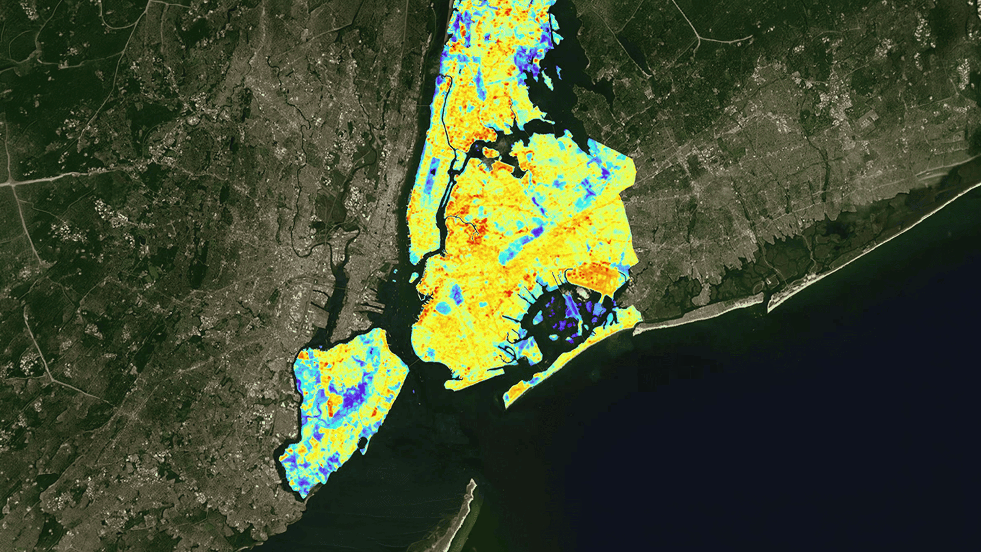
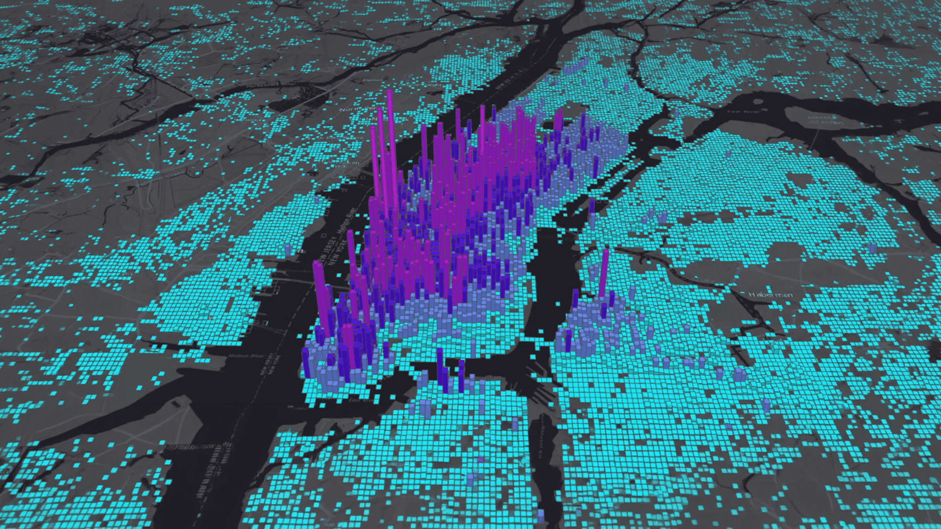
Use GIS to choose the right retail business location with data on footfall, demographics, competition, and ROI potential.

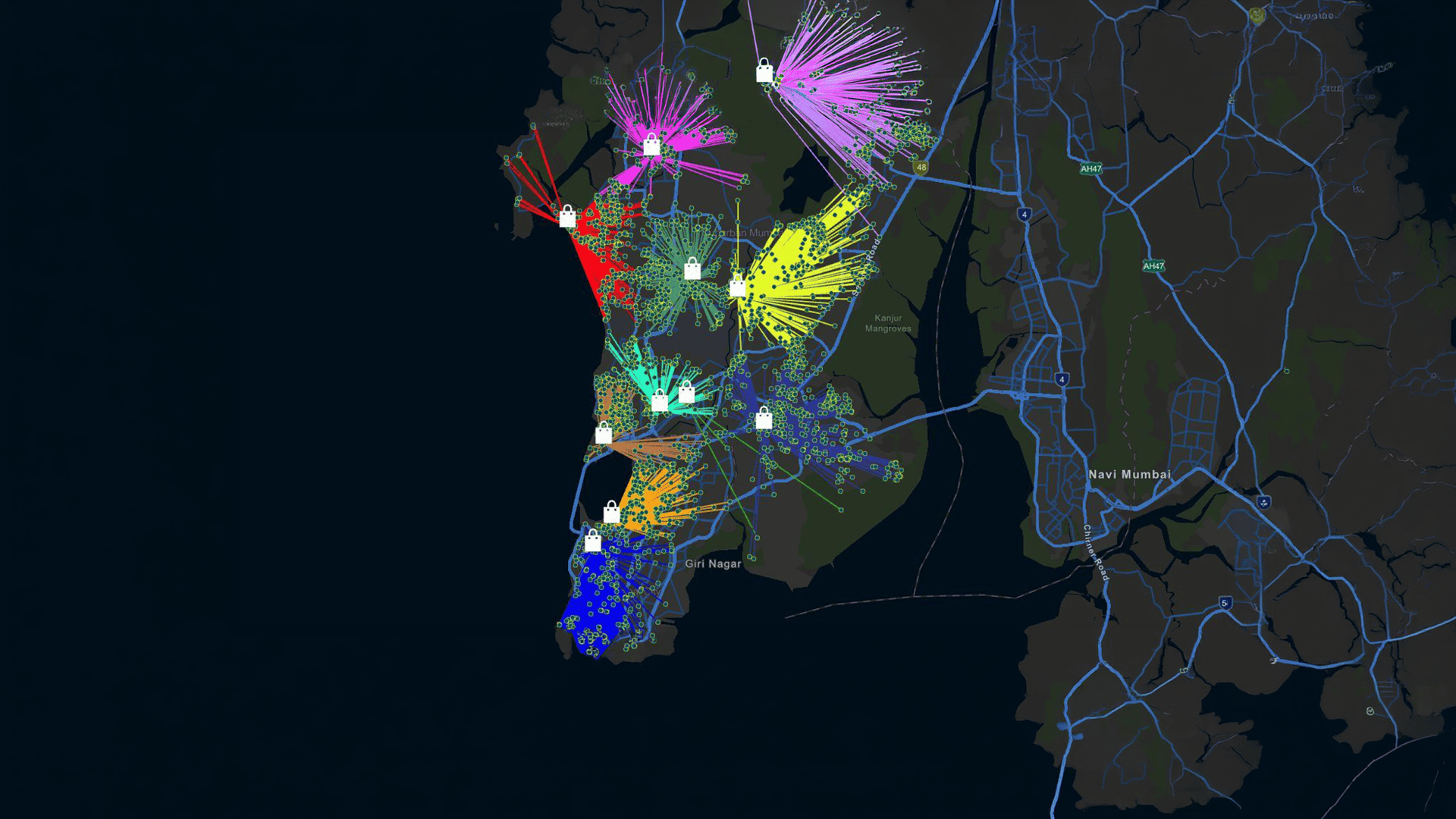
Learn how GIS in road and highway planning improves route design, traffic flow, and infrastructure decisions with accurate, data-driven insights.

Choose the right Drone Mapping Software to get accurate data, faster decisions, and reliable project outcomes.

Forecasting electricity demand is not a new problem, but it has never been an easy one. Demand rises and falls for many reasons

This is where ArcGIS-based LLM models step in. With the power of Large Language Models (LLMs), there’s a smarter way to fix it.
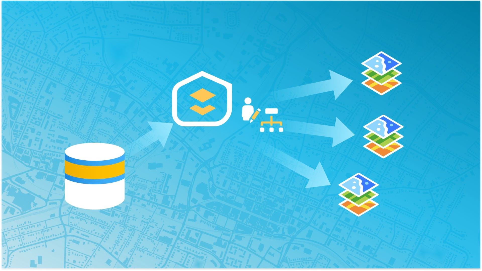
In today’s data-driven enterprise GIS world, organizations demand high-fidelity editing, continuous availability, and governance at scale.

Next gen asset management, powered by AI (Geo-AI) and IoT telemetry, is helping utilities transition from reactive maintenance to predictive,

This integration can decarbonize city gas distribution, provide clean cooking fuel, reduce landfill emissions, and create a circular economy