1
Organizations deal with restrictive legacy technology, sensitive data, and have tighter security measures
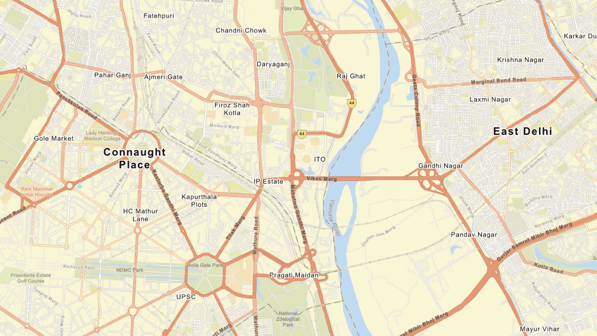
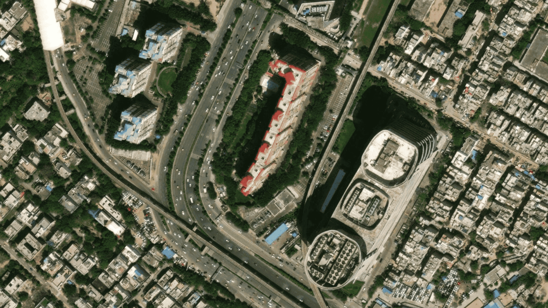
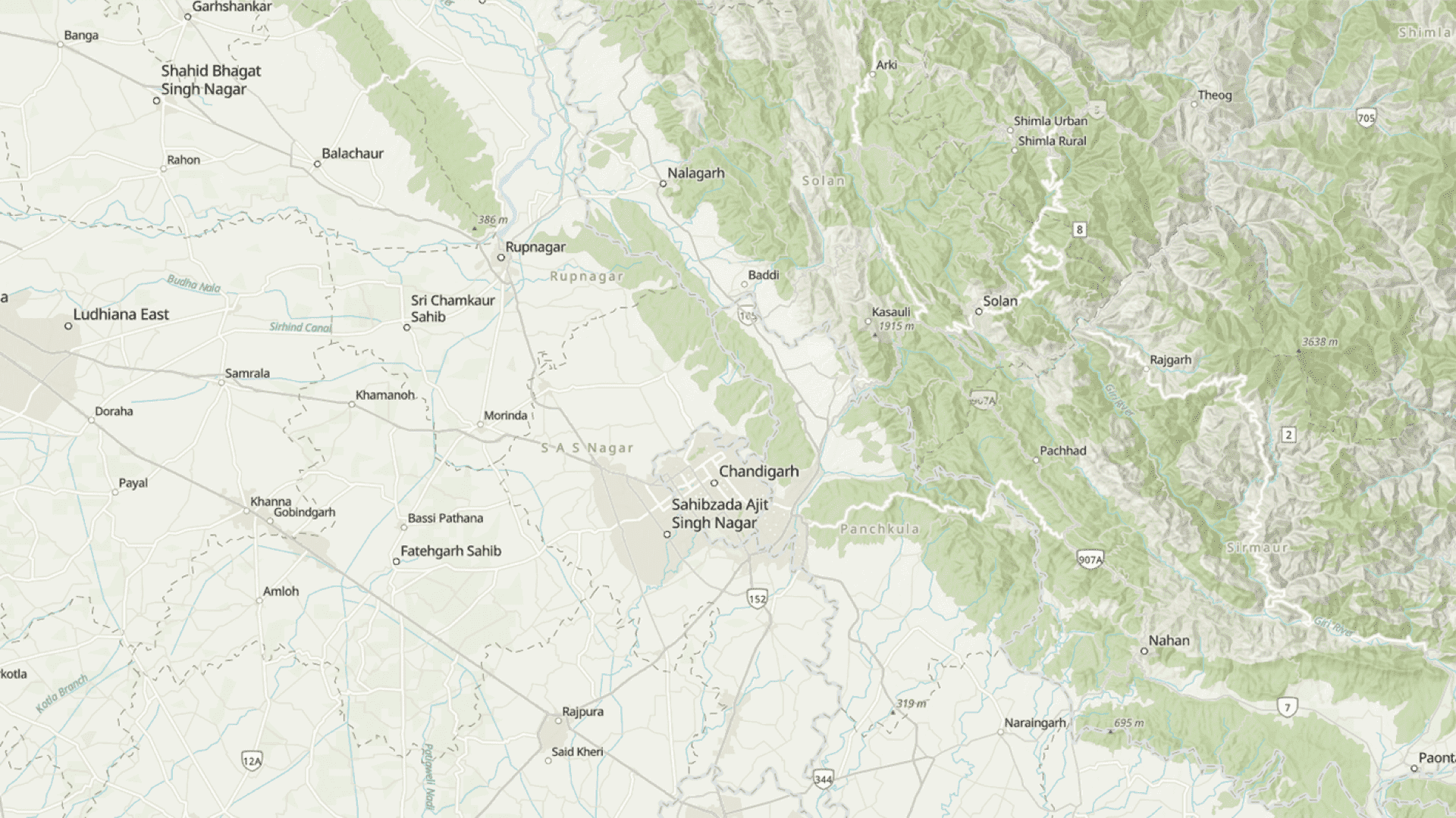
Indo ArcGIS Raster and Vector Basemaps Data Pack for India gives you cartographically rich mapping content to start building critical GIS applications right away. Terabytes of rich, ready-to-use basemaps of India such as imagery, street maps, topographic maps, shaded relief, elevations, and more.

Serve and store your data and services securely behind your firewall. Because these custom services and data are open and interoperable, people across your organization can use them.

You can publish data immediately to support workflows behind your firewall and share the content across your organization. For specialized analysis and visualization, you can build custom services that you can save and share. You can also integrate other data into the maps on Indo ArcGIS Raster and Vector Basemaps Data Pack for India.

Find out what is included in Indo ArcGIS Raster and Vector Basemaps Data Pack for India
Please fill out your details below for us to contact you.