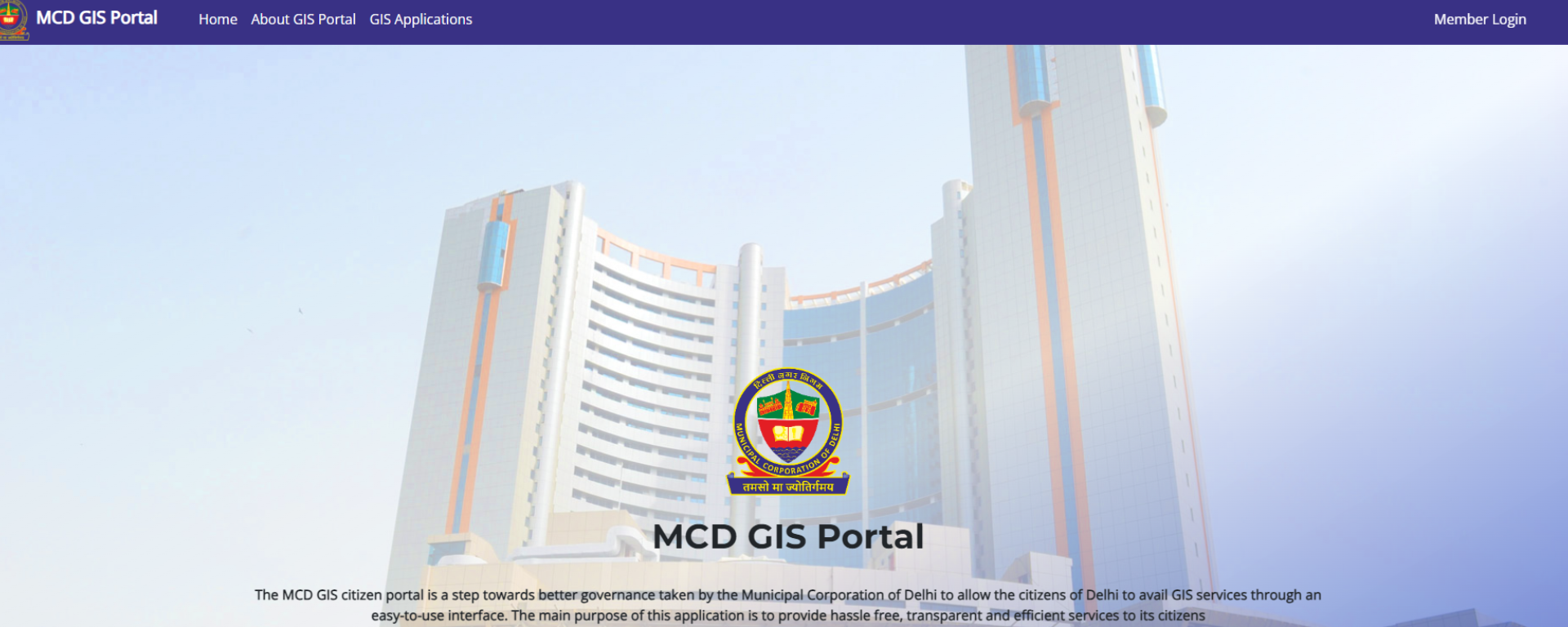
cover story banner image

Case Study

MCD Achieves Effective Governance with ArcGIS

Project Summary

The MCD GIS citizen portal is a step towards better governance taken by the Municipal Corporation of Delhi to allow the citizens of Delhi to avail various services through an easy-to-use interface along with geo-referential data. The main purpose of this project is to provide a planning tool and updated information for departmental officers to design their projects/ schemes that help in delivering hassle free, transparent and efficient services to its citizens. The services include public outreach, tower location analysis, property tax, tax comparison, factory and general trade licenses, health and veterinary trade licenses, Tehbazari, birth & death registration, swatchta karamchari attendance, seasonal mosquito control monitoring, etc.


Organization Details

Client
Municipal Corporation of Delhi 

Industry
Urban

Organization Profile
The three existing civic bodies, East Delhi Municipal Corporation (EDMC), North Delhi Municipal Corporation (NDMC), and South Delhi Municipal Corporation (SDMC) are re-unified into a single entity as Municipal Corporation of Delhi. The Municipal Corporation of Delhi is one of the largest municipal bodies in the world providing civic services to approximately 20 million citizens of Delhi. It occupies an area of 1397.3 sq. km. which is sub-divided into 12 Zones i.e. Centre, South, West, Najafgarh, Rohini, Civil Lines, Karol Bagh, SP-City, Keshavpuram, Narela, Shahdara North & Shahdara South. 

Website
https://mcdonline.nic.in/

Project
GIS Citizen Portal

Highlights

  • Effective visualization of MCD assets and properties.
  • Real-time visualization, ensuring transparency and streamlined workflow.
  •  Simplified information management.
  • Enhanced communication and decisionmaking.
  • Streamlined resource management leading to improved operational efficacy and resource optimization.

Challenges

Under the conventional system, the Municipal Corporation of Delhi (MCD) faced numerous challenges in effectively managing its widely dispersed resources and assets. Access to critical data was restrained within specific zones and wards jurisdictions, relying primarily on different computer systems, Excel files, and paper-based workflows. The absence of an efficient and consolidated monitoring mechanism contributed to an uneven distribution of resources and a fragmented understanding of the overall area. Consequently, budget allocations for the improvement of MCD’s jurisdiction exhibited inconsistency, obstructing the seamless implementation of targeted developmental initiatives. Furthermore, the decision-making process suffered from siloed information and the unavailability of a structured visualization tool, resulting in limited analytical insights and hindrances in strategic planning. The constraints of the conventional system were a significant challenge to MCD’s capacity to efficiently manage resources and make well-informed decisions.


Solution

Introduction

Esri India’s holistic solution has efficiently resolved the challenges faced by MCD through a single window-enabled GIS portal. The following measures have been taken to address the challenges:

Data Model Design

Implementation of a robust data model for structured data management and seamless integration equipped with GPL and Postgres. 

Existing Data Migration

Smooth transition of existing data from the conventional system to the GIS platform, preserving critical historical records and information. 

Data Preparation/Publishing

Facilitation of accurate data preparation and publishing, ensuring data reliability within the GIS framework.

Web Application Development

Creation of intuitive web applications for simplified access and visualization of geospatial data, streamlining asset monitoring and management.

Mobile App for Property Tax Survey

Integration of a mobile application for property tax surveys, enabling efficient data collection and real-time updates for accurate property tax assessments.

Capital Project Plan App

Implementation of a dedicated application for the planning and monitoring of infrastructure development projects, optimizing resource allocation, and enhancing project management efficiency.

Dashboards

Development of interactive dashboards offering stakeholders comprehensive insights and real-time updates on various operational aspects, fostering data-driven decision-making.

Scripts

Deployment of customized scripts automating complex processes, streamlining tasks, and enhancing operational efficiency within the MCD’s framework. This includes the integration of various APIs through which the department is enabled to embed the data on real-time basis for quick and correct decisions.

User-Level Training on Developed Applications

Conducting comprehensive training sessions for users to ensure proficiency in utilizing the newly developed applications, fostering self-sufficiency, and promoting the widespread adoption of the GIS platform within the organization.

The solution’s suite of web applications has brought about a host of additional benefits, including expanded public outreach capabilities, comprehensive analysis of tower locations, streamlined management of property tax records along with geo-tagged properties, insightful tax comparison functionalities, efficient oversight of factory and general trade licenses, improved administration of health and veterinary trade licenses, simplified processes for managing Tehbazari activities, seamless handling of birth and death registrations, enhanced monitoring of Swatchta Karamchari attendance, and effective oversight of seasonal mosquito control activities. 

These web applications have collectively contributed to the overall efficiency and transparency of the Municipal Corporation of Delhi’s operations, promoting enhanced service delivery and streamlined administrative processes. 


Benefits

Visualization of MCD Assets and Properties

The GIS solution enables the visualization of MCD assets and properties with metadata on a comprehensive GIS map, incorporating essential geodata for enhanced spatial analysis and informed decision-making.

Integration with Online Applications

The system’s integration with various online applications enables the display of real-time visualization of thematic maps, providing updated status information for tower permission applications, property tax, licenses, and other relevant processes, ensuring transparency and streamlined workflow.

Simplified Information Management

The GIS tool simplifies the overall process of compiling, handling, manipulating, interpreting, and distributing information for the department, fostering improved data management and operational efficiency.

Enhanced Communication and Decision-Making

The strengthened communication and decision-making systems facilitated by the GIS solution promote better collaboration among stakeholders, leading to more informed and effective decision-making processes within the MCD.

Streamlined Resource Management

The sourced information through the GIS platform significantly eases day-to-day resource management, providing valuable insights for efficient resource allocation and utilization, thereby improving operational efficacy and resource optimization.

To download the PDF version of this article, click the button below.

Download PDF